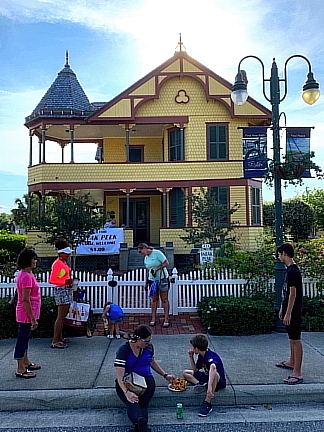
SANBORN INSURANCE MAPS PROVIDE PROOF OF OTHER STRUCTURES ON PROPERTY
Sanborn Insurance Maps were used to provide information about other structures that were once located on the property. At one time there was a windmill, elevated water tank, a round cistern and later an oval cistern, and a stable/shed all located on the northwest side of the property. An outhouse was added about 1908. Pritchard family members indicated that the oval cistern had a concrete dome over the top. The dome was destroyed in the 1950s by Capt. Pritchard's son "Boud" who knocked it down with a sledge hammer. The broken concrete fell to the bottom and the cistern was filled in with dirt where "Boud" later planted a rose garden. Remains of the oval shaped cistern are located near the northwest corner of the house.
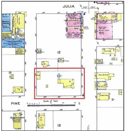
Map-1908
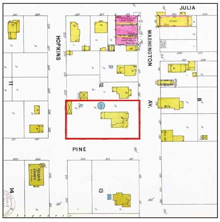
Map-1899
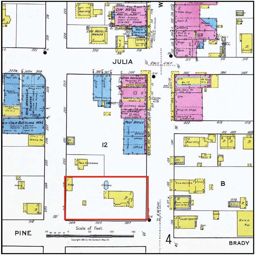
1920 Sanborn map house town
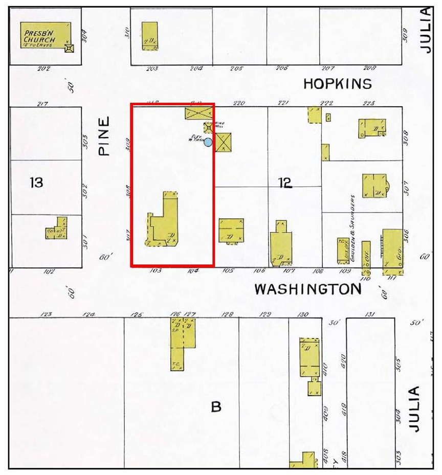
1893 Sanborn map house area
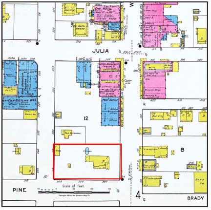
Map-1920
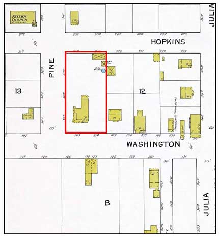
Map-1893